
Soubor:Map of the Far East of the USSR, Northern China (Manchuria) and Mongolia.tif

Původní soubor (1 404 × 1 024 pixelů, velikost souboru: 4,11 MB, MIME typ: image/tiff)
| Tento soubor pochází z Wikimedia Commons. Níže jsou zobrazeny informace, které obsahuje jeho tamější stránka s popisem souboru. |
Popis
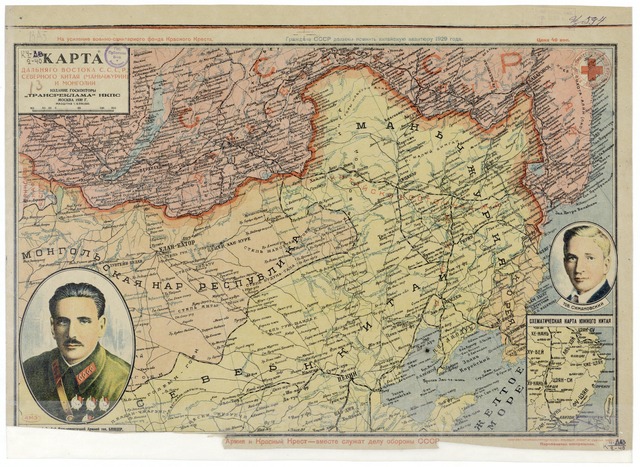
| Popis | Map of the Far East of the USSR, Northern China (Manchuria) and Mongolia, 39 x 53 cm, 1:6 000 000 |
| Datum | |
| Zdroj |
http://www.wdl.org/zh/item/123/?ql=zho&a=-8000&b=2010&c=CN&r=EastAsia&view_type=gallery |
| Autor | “Transreklama”NKPS, |
| Další verze |

Licence
|
Toto dílo je volné také v zemích, jejichž právní řád chrání majetková autorská práva po dobu života autora a 70 let po jeho smrti.
| |
| Bylo zjištěno, že u tohoto souboru nejsou známa žádná omezení daná autorským právem a právy s ním souvisejícími. | |
Historie souboru
Kliknutím na datum a čas se zobrazí tehdejší verze souboru.
| Datum a čas | Náhled | Rozměry | Uživatel | Komentář | |
|---|---|---|---|---|---|
| současná | 15. 2. 2011, 18:57 |  | 1 404 × 1 024 (4,11 MB) | Shizhao | == {{int:filedesc}} == == {{int:filedesc}} == == {{int:filedesc}} == == {{int:filedesc}} == == {{int:filedesc}} == {{Information |Description=Map of the Far East of the USSR, Northern China (Manchuria) and Mongolia, 39 x 53 cm, 1:6 000 000 |Source=http:// |
Využití souboru
Tento soubor používá následující stránka:
Globální využití souboru
Tento soubor využívají následující wiki:
- Využití na ba.wikipedia.org
- Využití na en.wikipedia.org
- Využití na hu.wikipedia.org
- Využití na ko.wikipedia.org
- Využití na mn.wikipedia.org
- Využití na nl.wikipedia.org
- Využití na ro.wikipedia.org
- Využití na ru.wikipedia.org
- Využití na th.wikipedia.org
- Využití na uk.wikipedia.org
- Využití na uz.wikipedia.org
- Využití na zh.wikipedia.org