
Soubor:Bieler See, 1845 (von Swisstopo Dufourkarte BLATT VII, LT TK 007 1845).tiff

Velikost tohoto JPG náhledu tohoto TIF souboru: 800 × 561 pixelů. Jiná rozlišení: 320 × 224 pixelů | 640 × 449 pixelů | 1 024 × 718 pixelů | 1 280 × 898 pixelů | 2 560 × 1 796 pixelů | 2 962 × 2 078 pixelů.
Původní soubor (2 962 × 2 078 pixelů, velikost souboru: 5,89 MB, MIME typ: image/tiff)
| Tento soubor pochází z Wikimedia Commons. Níže jsou zobrazeny informace, které obsahuje jeho tamější stránka s popisem souboru. |
Popis
| Titul |
Deutsch: Bieler See |
|||||||||||||||||||||||
| Popis |
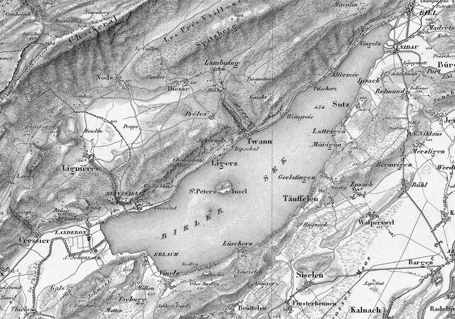
English: Lake Biel in 1845, from Sheet VII of Topographische Karte der Schweiz (Dufour Map).
Deutsch: Bielersee in 1845, von Blatt VII der Topographischen Karte der Schweiz, auch Dufourkarte genannt.
Français : Lac de Bienne en 1845, de Feuille VII de la Carte Dufour. |
|||||||||||||||||||||||
| Map legend |
Deutsch: Zeichen und Abkürzungen |
|||||||||||||||||||||||
| Index map | Uebersicht der Blätter des Topographischen Atlasses der Schweiz | |||||||||||||||||||||||
| Zdroj |
|
|||||||||||||||||||||||
| Tvůrce | ||||||||||||||||||||||||
| Svolení (Užití tohoto souboru) |
https://commons.wikimedia.org/wiki/Template:Attribution-Swisstopo | |||||||||||||||||||||||
| Geotemporal data | ||||||||||||||||||||||||
| Zobrazené datum | ||||||||||||||||||||||||
| Map location | Lake Biel | |||||||||||||||||||||||
| Souřadný systém | Bonne'sche Projektion | |||||||||||||||||||||||
| Měřítko | 1:100 000 | |||||||||||||||||||||||
| Heading |
 |
|||||||||||||||||||||||
| Bounding box |
|
|||||||||||||||||||||||
| Georeferencing | ||||||||||||||||||||||||
| Bibliographic data | ||||||||||||||||||||||||
| Série | Erstausgabe Topographische Karte der Schweiz | |||||||||||||||||||||||
| Map sheet | 7 (crop) | |||||||||||||||||||||||
| Jazyk | němčina | |||||||||||||||||||||||
| Vydavatel | ||||||||||||||||||||||||
| Archival data | ||||||||||||||||||||||||
| Sbírka |
Bundesamt für Landestopografie swisstopo, Kartensammlung
|
|||||||||||||||||||||||
| Inventární číslo |
LT TK 007 1845 |
|||||||||||||||||||||||
| Poznámky |
|
|||||||||||||||||||||||


Licence
The data made publicly available by swisstopo may be used, distributed and made accessible. Furthermore, they may be enriched and processed and also used commercially. A reference to the source is mandatory. In the case of digital or analogue representations and publications, as well as in the case of dissemination, one of the following source references must be attached in any case:
Terms of use for free geodata and geoservices (OGD) from swisstopo
|
.svg) |
Historie souboru
Kliknutím na datum a čas se zobrazí tehdejší verze souboru.
| Datum a čas | Náhled | Rozměry | Uživatel | Komentář | |
|---|---|---|---|---|---|
| současná | 26. 9. 2023, 12:02 |  | 2 962 × 2 078 (5,89 MB) | Enhancing999 | File:Swisstopo Dufourkarte BLATT VII. PORRENTRUY SOLOTHURN LT TK 007 1845.tiff cropped 75 % horizontally, 76 % vertically using CropTool with precise mode. |
Využití souboru
Tento soubor používá následující stránka:
Globální využití souboru
Tento soubor využívají následující wiki:
- Využití na de.wikipedia.org