
Soubor:Provinces of the Netherlands.png
Velikost tohoto náhledu: 424 × 600 pixelů. Jiná rozlišení: 170 × 240 pixelů | 339 × 480 pixelů | 842 × 1 191 pixelů.
Původní soubor (842 × 1 191 pixelů, velikost souboru: 121 KB, MIME typ: image/png)
| Tento soubor pochází z Wikimedia Commons. Níže jsou zobrazeny informace, které obsahuje jeho tamější stránka s popisem souboru. |
Popis
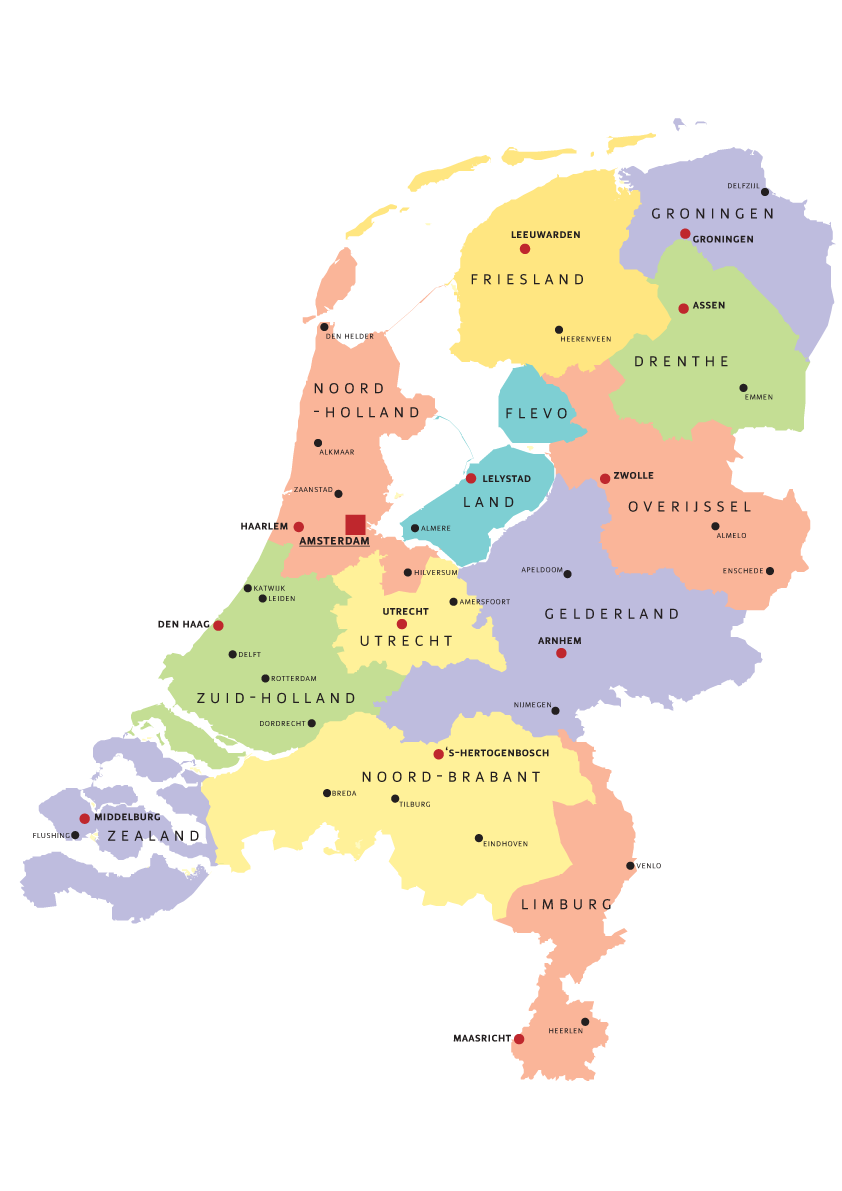
| Popis | Map of Provinces of Netherland |
| Datum | |
| Zdroj | Vlastní dílo |
| Autor | Norway.today |
Licence
I, Norway.today, držitel autorských práv k tomuto dílu, ho tímto zveřejňuje za podmínek následujících licencí:

|
Tento dokument smí být kopírován, šířen nebo upravován podle podmínek Svobodné licence GNU pro dokumenty verze 1.2 nebo libovolné vyšší verze publikované nadací Free Software Foundation. Dokument nemá neměnné části ani texty na předním či zadním přebalu. Kopie textu licence je k dispozici v oddíle nazvaném GNU Free Documentation License. |
| Tento soubor podléhá licenci Creative Commons Uveďte autora-Zachovejte licenci 3.0 Unported. | ||
| Uveďte autora: I, Norway.today | ||
| ||
| Tato licenční šablona byla k tomuto souboru přidána v rámci změny licencování. |
Tento soubor podléhá licenci Creative Commons Uveďte autora-Zachovejte licenci 2.5 Generic, 2.0 Generic a 1.0 Generic.
Uveďte autora: I, Norway.today
- Dílo smíte:
- šířit – kopírovat, distribuovat a sdělovat veřejnosti
- upravovat – pozměňovat, doplňovat, využívat celé nebo částečně v jiných dílech
- Za těchto podmínek:
- uveďte autora – Máte povinnost uvést autorství, poskytnout odkaz na licenci a uvést, pokud jste provedli změny. Toho můžete docílit jakýmkoli rozumným způsobem, avšak ne způsobem naznačujícím, že by poskytovatel licence schvaloval nebo podporoval vás nebo vaše užití díla.
- zachovejte licenci – Pokud tento materiál jakkoliv upravíte, přepracujete nebo použijete ve svém díle, musíte své příspěvky šířit pod stejnou nebo slučitelnou licencí jako originál.
Můžete si zvolit libovolnou z těchto licencí.
Historie souboru
Kliknutím na datum a čas se zobrazí tehdejší verze souboru.
| Datum a čas | Náhled | Rozměry | Uživatel | Komentář | |
|---|---|---|---|---|---|
| současná | 5. 8. 2007, 19:07 | | 842 × 1 191 (121 KB) | Norway.today~commonswiki | == Summary == {{Information |Description= Map of Provinces of Netherland |Source=self-made |Date= 4. august 2007 |Author= Norway.today }} Category:Maps of the Netherlands |
| 5. 8. 2007, 16:30 |  | 842 × 1 191 (120 KB) | Norway.today~commonswiki | {{Information |Description= Map of Provinces of Netherland |Source=self-made |Date= 4. august 2007 |Author= Norway.today }} Category:Maps of the Netherlands | |
| 5. 8. 2007, 16:25 |  | 842 × 1 191 (127 KB) | Norway.today~commonswiki | {{Information |Description= Map of Provinces of Netherland |Source=self-made |Date= 4. august 2007 |Author= Norway.today }} Category:Maps of the Netherlands == Licensing == {{self|GFDL|cc-by-sa-2.5,2.0,1.0|author=I, [[User:Norwa | |
| 5. 8. 2007, 16:21 |  | 842 × 1 191 (116 KB) | Norway.today~commonswiki | {{Information |Description= Map of Provinces of Netherland |Source=self-made |Date= 4. august 2007 |Author= Norway.today }} Category:Maps of the Netherlands |
Využití souboru
Tento soubor nepoužívá žádná stránka.