
Soubor:Haškov - mapa 19. století.jpg
Velikost tohoto náhledu: 800 × 475 pixelů. Jiná rozlišení: 320 × 190 pixelů | 640 × 380 pixelů | 1 166 × 693 pixelů.
Původní soubor (1 166 × 693 pixelů, velikost souboru: 337 KB, MIME typ: image/jpeg)
| Tento soubor pochází z Wikimedia Commons. Níže jsou zobrazeny informace, které obsahuje jeho tamější stránka s popisem souboru. |
Popis
| Popis |
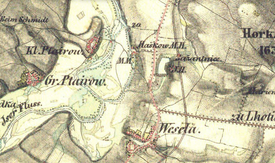
Čeština: Haškov na mapě Druhého vojenského mapování |
| Datum | 19. století |
| Zdroj | 2nd Military Survey, Austrian State Archive/Military Archive, Vienna / Mapy.cz: https://mapy.cz/s/gohuvovuro |
| Autor | Neznámý |
| Pozice fotografa | | Tento snímek a mnohé další na: OpenStreetMap |
|---|
Licence
This image is in the public domain in countries and areas where the copyright term for anonymous or pseudonymous works is 70 years from the year of first publication or less, for example in the European Union.
Please give also an explanation why the work is in the public domain in its source country and in the United States. If this work was published after 1928 and it was not in the public domain in its source country on the URAA date (January 1, 1996 for most countries), use {{Not-PD-US-URAA}} in addition to this template.
For files in the public domain in the EU, please use {{PD-anon-70-EU}} (see the documentation).
|
 |
Historie souboru
Kliknutím na datum a čas se zobrazí tehdejší verze souboru.
| Datum a čas | Náhled | Rozměry | Uživatel | Komentář | |
|---|---|---|---|---|---|
| současná | 26. 4. 2020, 23:18 | | 1 166 × 693 (337 KB) | Palu | Uploaded a work by unknown from 2nd Military Survey, Austrian State Archive/Military Archive, Vienna / Mapy.cz: https://mapy.cz/s/gohuvovuro with UploadWizard |
Využití souboru
Tento soubor používá následující stránka: